Project Description
M3 : Myrsini - Ormos Leivadas
| 5.2km | 2h | 2/5 | No |
|---|
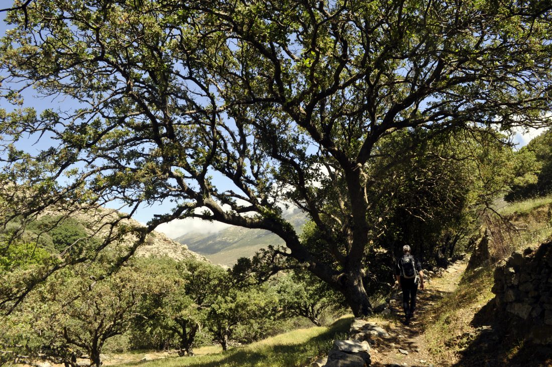
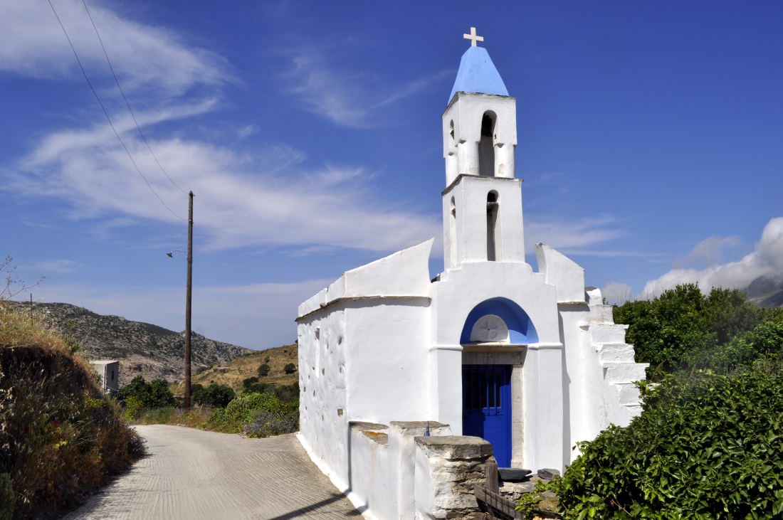
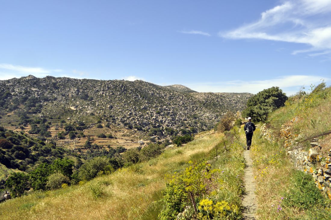
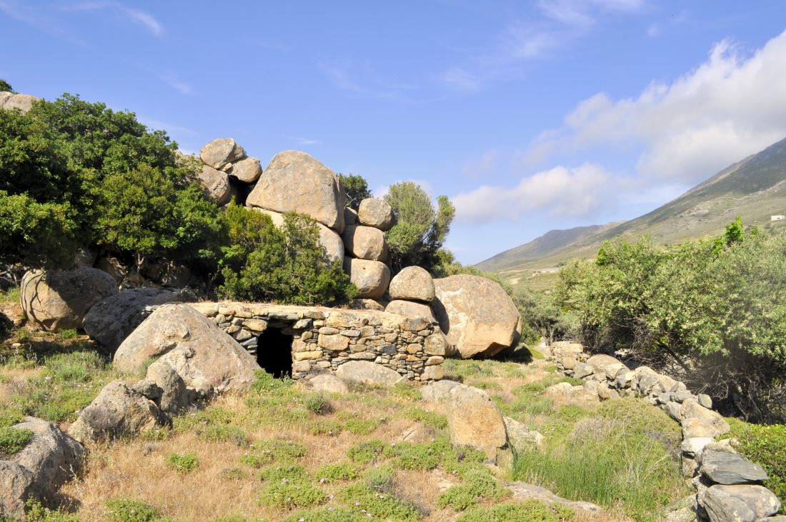
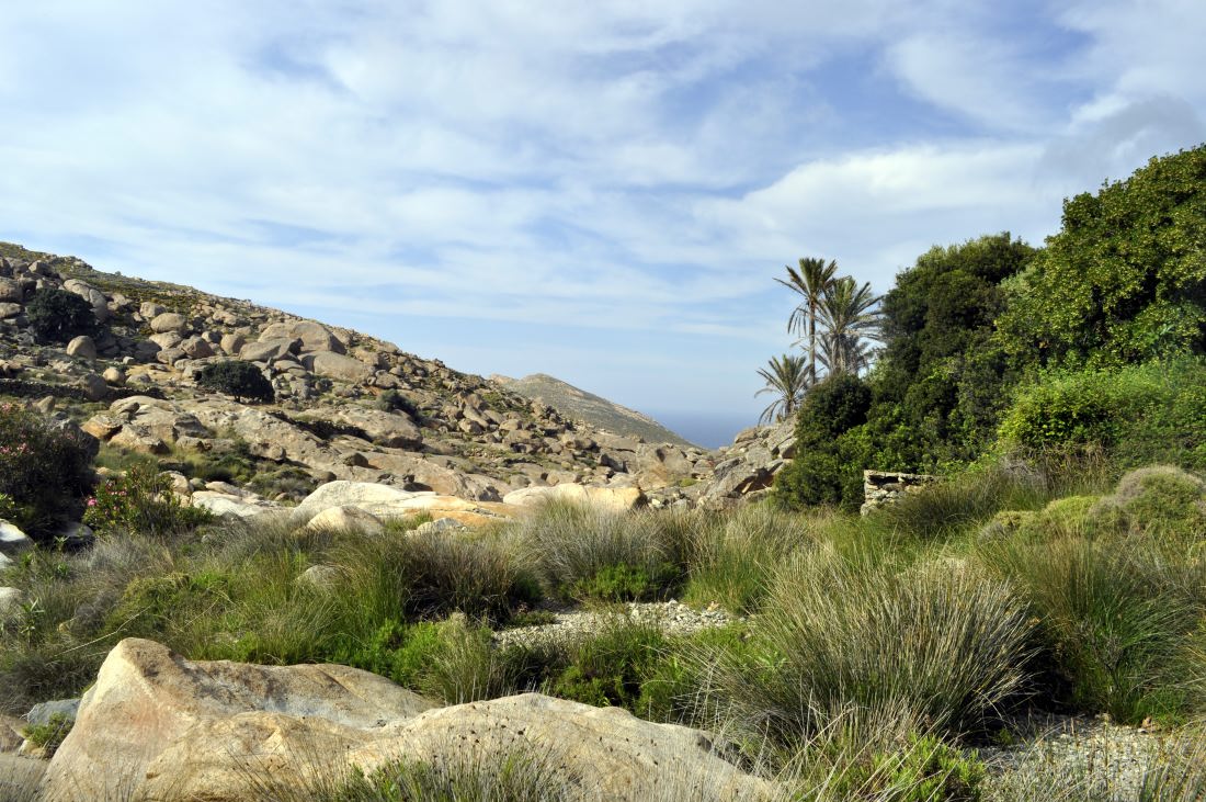
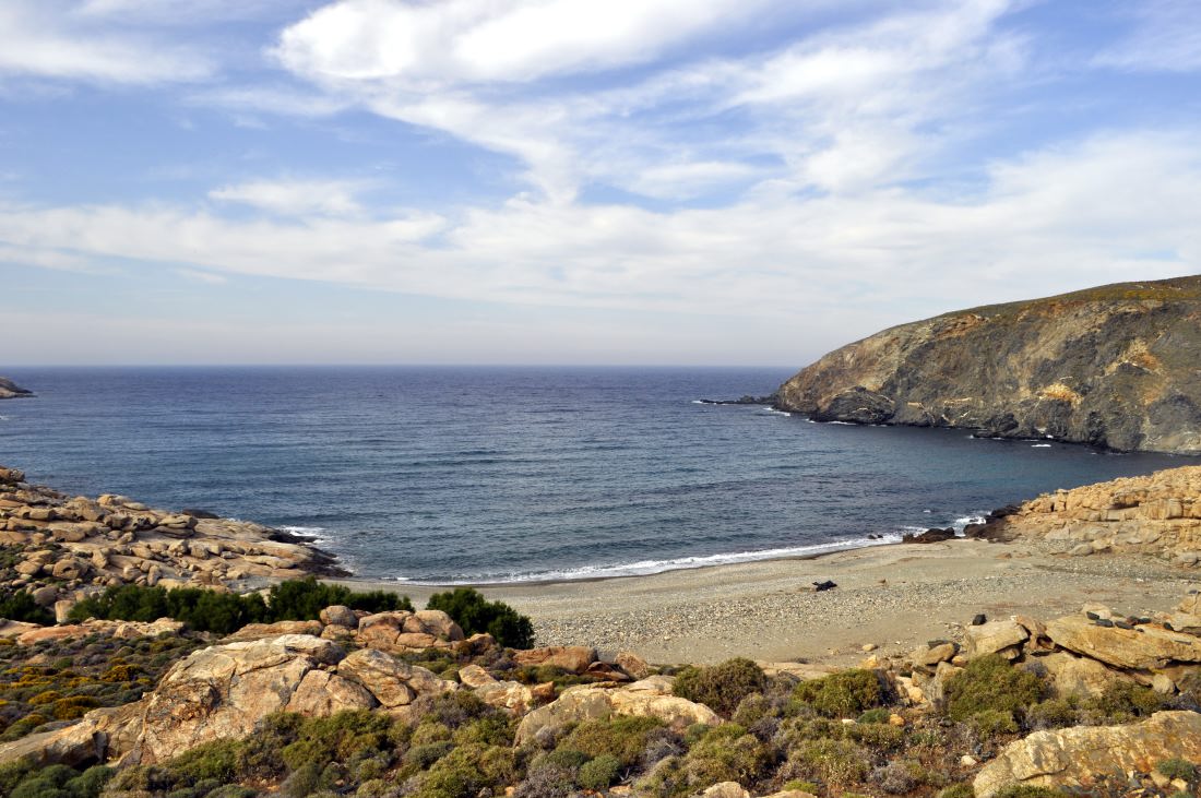
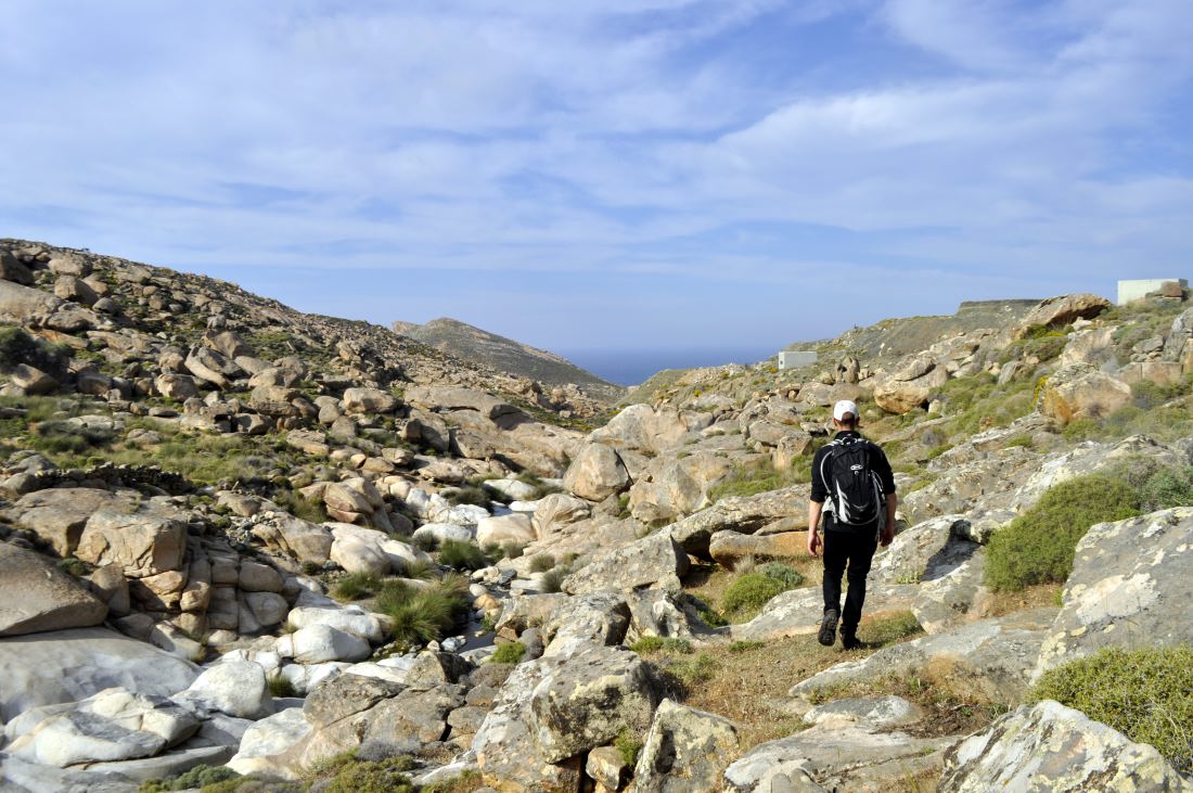
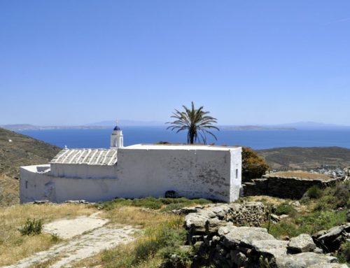
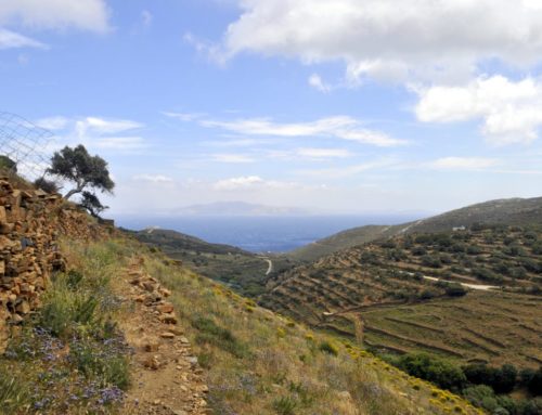
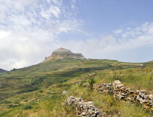
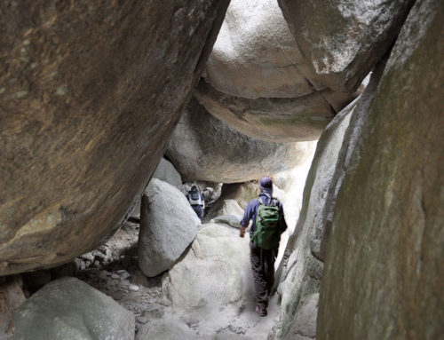
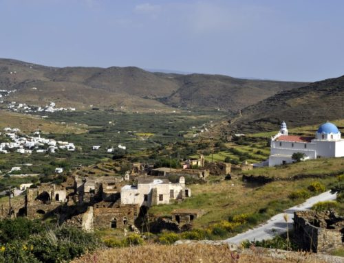
Trail M3 is considered by most the most spectacular path in Tinos. It begins from the village of Myrsini and it goes downhill to the sea. At first, it goes through a lush landscape, with soaring oak and plane trees, lucent waters, chapels all along the ravine of Leivada which divides the arid landscape of the granite rock formations from the much more fertile slopes of Mount Tsiknias. The trail goes through Magganari and Plati, rural areas with croplands and orchards as well as imposing granite rock formations alternating with the dense vegetation, and it stretches to the coastline of Leivada with the small wetland.
Starting Points: Myrsini, Ormos Leivadas
Connection to Other Trails: Μ1, Μ2, Μ3Α
M3Α : Ormos Leivadas - Faros Leivadas
| 1.7km | 45′ | 3/5 | No |
|---|
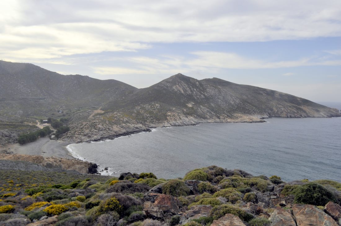
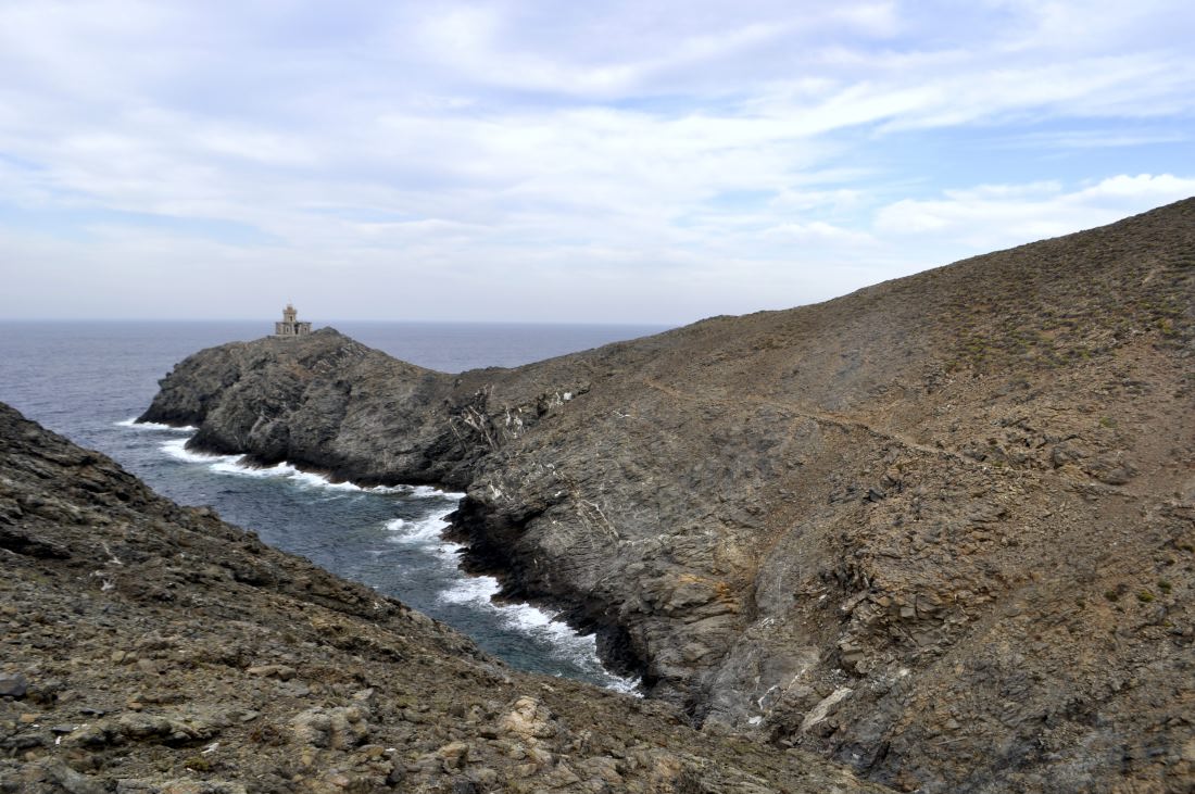
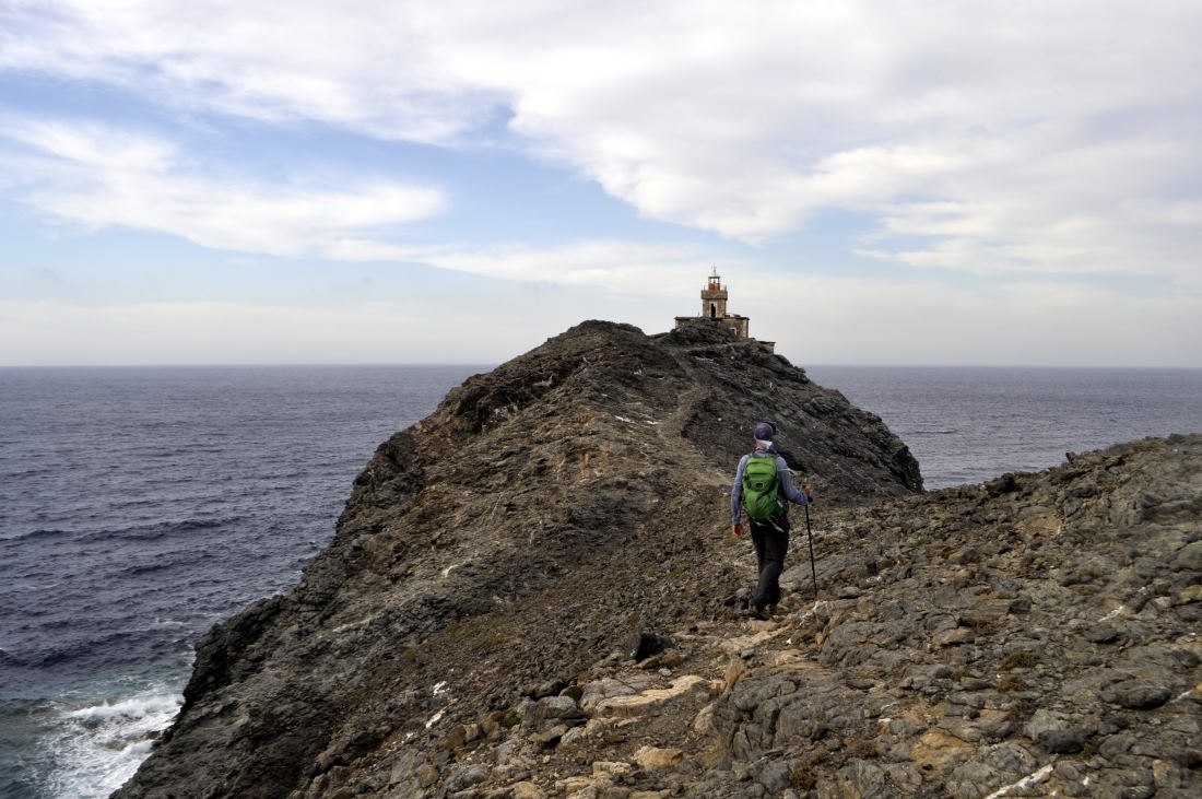
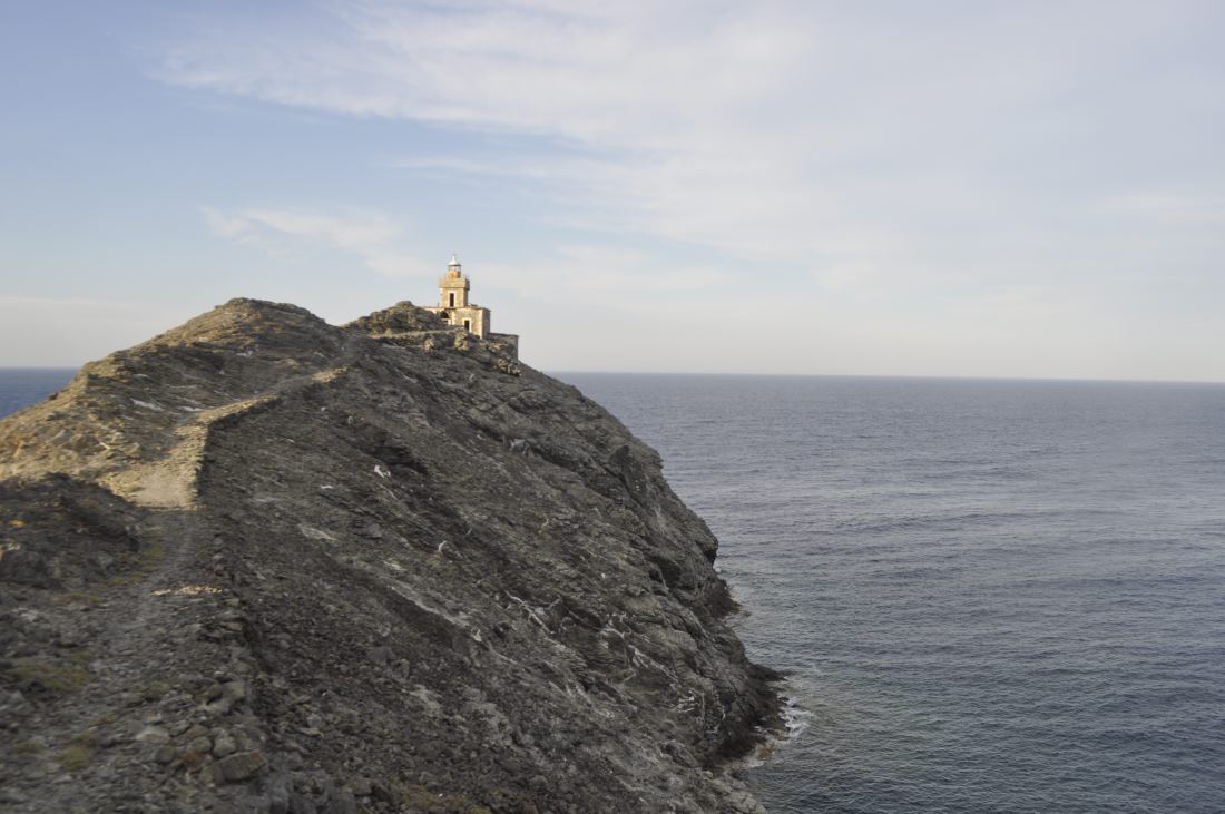
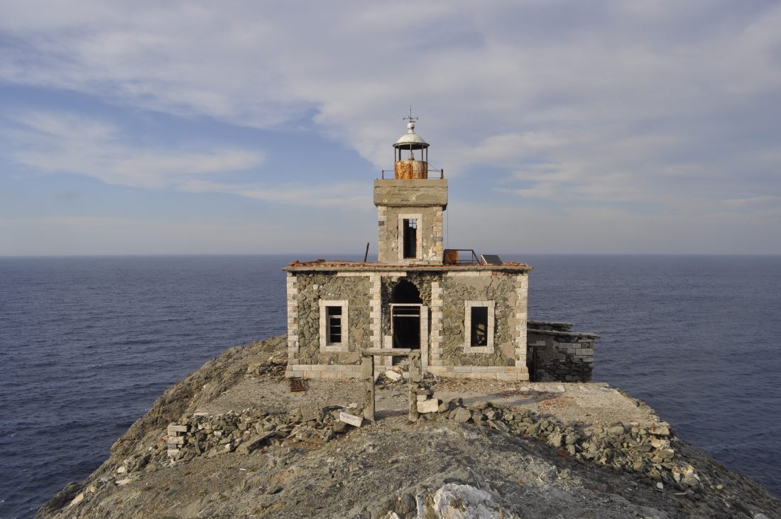
A small trail initially starts from the coastline of Leivada and it stretches all the way to the imposing Lighthouse of Leivada, which sets the boundary between Tinos and Mykonos. The last leg of the journey towards the Lighthouse in Papargyros Cape is along a stone path which was used in the past by the surface mines of the area.
Starting Points: Leivada beach
Connection to Other Trails: Μ3

